The following report was provided to the Manateed Board of County Commissioners via email from David Tomasko, Ph.D., Executive Director, Sarasota Bay Estuary Program. Sarasotabay.org
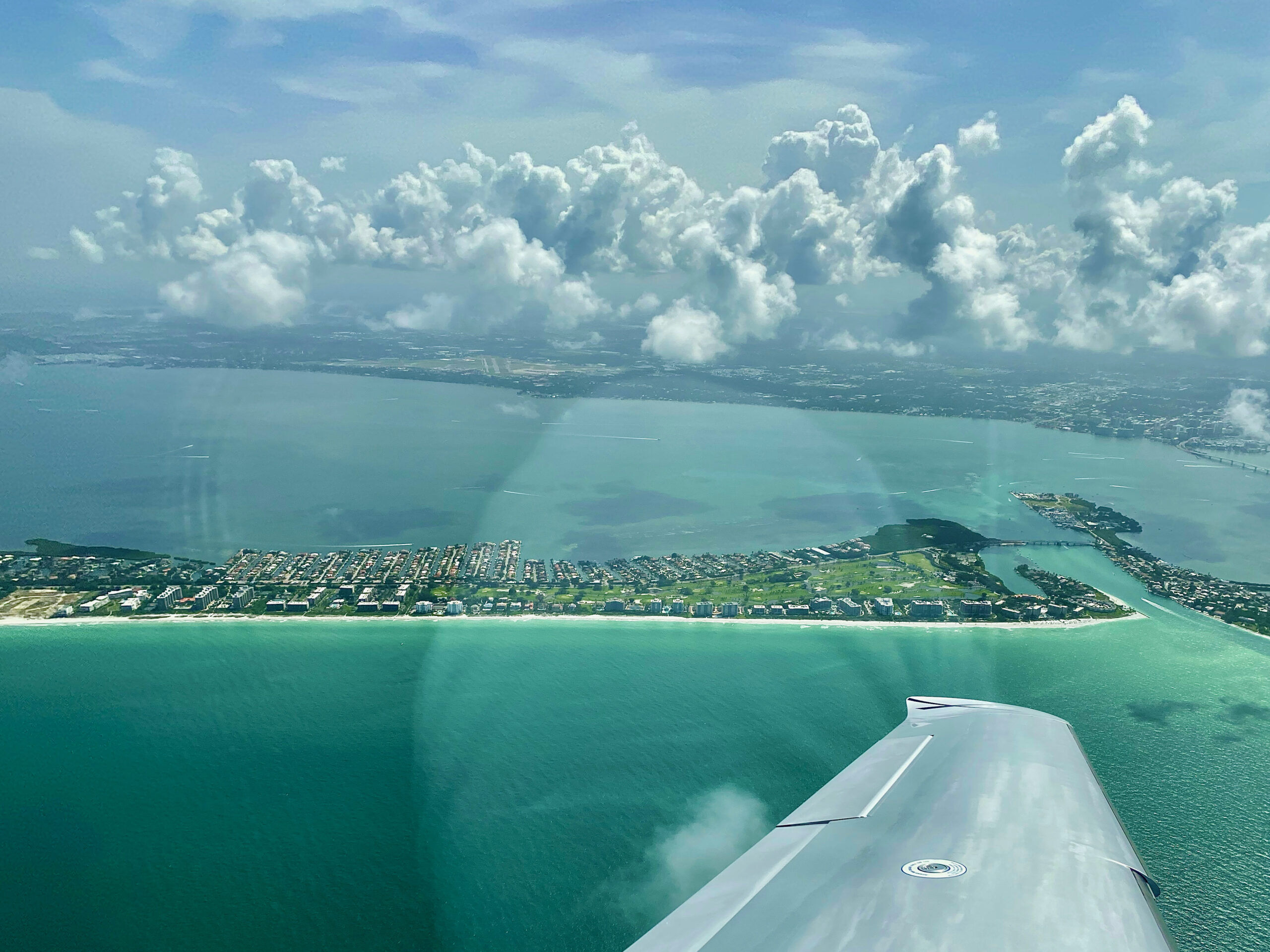
First off, there could be some good news on the horizon for at least our barrier islands, with regards to our current red tide. The latest data from Mote and FFWCC researchers shows red tide at low, moderate and high levels both in the bay, and also along our barrier islands. In our region, this red tide is patchy in distribution, which is good news, compared to the widespread impacts from 2018, or the very strong red tide centered on Tampa Bay back in June and July of this year. The potential for good news over the next few days comes to us via Fred, the tropical storm expected to be in the eastern Gulf of Mexico this weekend.
As you know, tropical storms in the northern hemisphere have a wind pattern that rotates in a counter-clockwise fashion. That means, if they approach us from the south, the first winds we experience will be coming out of the east, and then they will shift in a counter-clockwise fashion to coming out of the northeast as the storm gets closer. The National Hurricane Center model forecasts point to Tropical Storm Fred (or tropical depression) coming from the south and passing west of us, in the eastern Gulf of Mexico TROPICAL DEPRESSION FRED (noaa.gov) . The National Weather Service forecast for the waters offshore of Sarasota Bay has offshore waters experiencing mostly east winds (winds coming out of the east) to east-northeast winds from today until Saturday 7-Day Marine Forecast 27.36N 82.65W | Coastal waters from Englewood to Tarpon Springs FL out 20 NM (weather.gov)
In response to these wind patterns, USF’s predictions are for red tide to move offshore over the next few days, in response to easterly to northeasterly winds. The graphic below is a bit tricky to interpret, but the “x” refers to the location of a “particle” and the lines emanating from those “x’s” represent the expected trajectory of those particles during the next 3 ½ days. The color of the lines represents the initial red tide concentrations – red is highest, and blue and green are lower values. There is a mixed bag in there for our waters – in some areas it is expected that red tide will be advected offshore, which is good news for our beaches and those parts of the bay next to passes. But in other parts of our bay, an easterly wind might just pile water up along the bay-side of our barrier islands. The unknown for this event is rainfall amounts. If we get wind out of the east to northeast and very little rain, that should be very good for us. If we get only weak easterly winds – and they quickly shift to coming out of the west at higher speeds, and we also get lots of rain, this could be worse. But right now, the wind forecast looks good, and the rainfall amounts expected are in the 2 to 4 inches range – something we can get with a strong line of afternoon thunderstorms.
A complicating factor is that offshore aerial surveys by Pinellas County have found large streaks of “sea sawdust” from Egmont Key north, although not directly offshore of us. Sea sawdust is a common name for cyanobacteria of the genus Trichodesmium. The name sea sawdust is based on the fact that it looks like you’ve blown sawdust onto the surface of the water (see below). These guys can take nitrogen out of the atmosphere (which is 78% biologically inert di-nitrogen gas) and turn it into a nitrogen source that can be used by the red tide organism, Karenia brevis. The factor that limits the abundance of Trichodesmium is often iron, and one of the biggest sources of iron is dust delivered to the Gulf of Mexico from dust storms brought across the Atlantic from the Saharan desert. We have had a number of red tides over the years that likely have been “triggered” offshore by Saharan dust. But…once those blooms get to nearshore waters, their intensity, geographic extent and duration will be related to nearshore nutrient availability, which IS something under our control.
The second thing to bring to your attention is that we have finally nailed down a date for our day-long workshop on Water Quality Restoration. That date is October 5th, and the event will be held at New College’s Sudakoff Center. This workshop will focus on specific projects and programs to help us restore and protect water quality in Sarasota Bay. We will be working with members of the Management Committee to get representation from local governments on their plans for stormwater and wastewater projects in the near future, as well as what they’ve already done over the past 10 to 20 years. We want local governments to get credit for what they’ve already done for wastewater and stormwater, and for us to gain a more thorough understanding of what else is planned on being done in the near future. We will also have sessions on “non-traditional” approaches to improve water quality – topics such as “carbon walls” for groundwater nitrate and the use of artificial reefs and oyster restoration projects.


