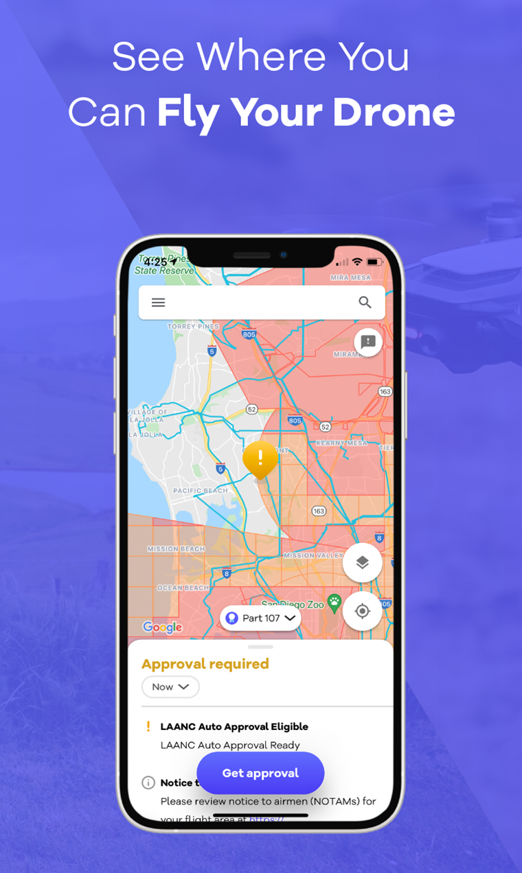
Knowing where you can fly your drone is the most important rule you have to get acquainted with before taking to the skies. Alongside the FAA’s dedicated B4UFLY app, Alphabet’s Wing also boasts a dedicated drone safety and navigation app that’s now available in the US following its debut in Australia.
Once downloaded, you can fire it up to check airspace restrictions that will dictate where you can and can’t fly. No-go areas include stadiums and sporting events; airports; security sensitive locations such as military airbases, national landmarks and critical infrastructure like nuclear power plants; and even temporarily restricted sites that may be out of bounds because of an emergency (such as a wildfire). Having an app in your pocket that gives you that info in real-time is obviously an important resource.
With a green light from the FAA, Wing says you can also use OpenSky to quickly request authorization to fly in controlled airspace, including areas surrounding US airports. This is otherwise known as a Low Altitude Authorization and Notification Capability and is typically used by emergency response crews, commercial surveyors, or filmmakers and photographers.
Wing says the reason it’s expanding the app is to enable people to fly more safely and boost compliance to ensure greater adoption of drones. Of course, the service collects plenty of data — including info about your device and its location and a connected drone’s serial number, model details and flight plan — which should help Wing to build out its navigational systems and maybe even feed into its UAV deliveries.
In the past Alphabet has campaigned against the FAA’s remote drone ID license plate rules over privacy concerns, but now finds itself in a position where it’s also collecting location data. To find out more, you can check out OpenSky’s privacy policy and terms of service. The app is available on iOS and Android.
Originally found on Engadget Read More


